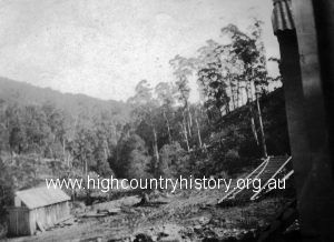
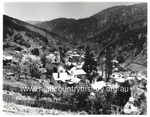
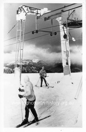
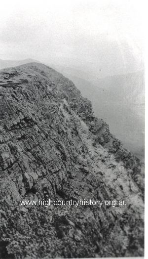
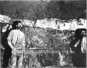
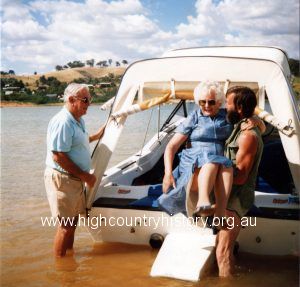
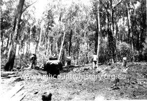
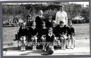
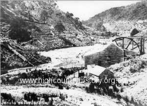
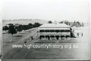
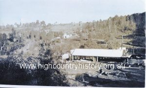
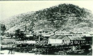
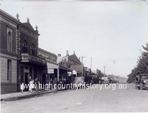
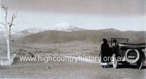
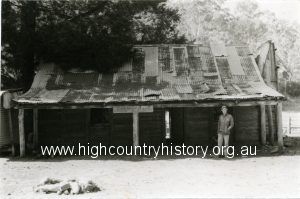
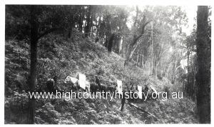
Making of the Mt Stirling Road Township of Woods Point Skiers on Mt Buller Photograph showing the end of The Bluff A1 mine. The 60 ft floor MERRIJIG PUBLIC HALL MINUTES OF MEETING HELD 9TH JANUARY 2003 LOVICK FAMILY COLLECTION. JOHN LOVICK WITH MARY AND HARTLEY Forestry Commission – Mt Stirling Road. Pulling timber on two wheel trailer behind bulldozer to Mt Stirling hut. Mansfield Primary School Netball Team 1965 B.B. Quartz Mine Battery House MORGAN NAILS UP HIS THESIS AGAINST THE ‘GREENIE’ RELIGION CRITICAL TIME FOR THE ALPS Mansfield Hotel, No 86, corner of High and Highett Streets, 1890. McCashney and Harper Sawmill, back view. Baker Creek, Merrijig Early view of Jamieson North side of High Street, Mansfield. On the Mt Buller Road – ca. 1920 Fry’s Hut on Fry’s Flat LOVICK’S 1980s TRAIL RIDE. PART 5– AFTERNOON RIDE Packhorses carrying galvanised iron and building materials for the Mansfield Progress Association Hut (first hut on Mt Buller). « Previous 1 … 100 101 102 103 104 … 316 Next »