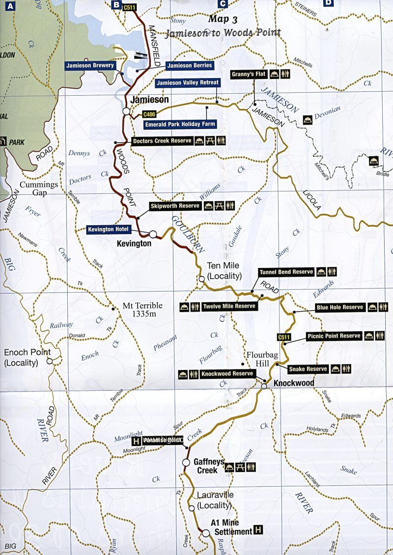
“Rivers, Mountains and Echoes of Gold” – Map of Jamieson to Woods Point
Item Number: 3114
“Rivers, Mountains and Echoes of Gold” – Map of Jamieson to Woods Point, including Kevington, Ten Mile, Tunnel Bend, Knockwood, Gaffney’s Creek, Lauraville A1 Mine, Frenchman’s Gap, Woods Point, Matlock. (Map enclosed with file)