Map of the township of Matlock

You can purchase a high resolution version of this image for AUD $3, just click Add to Cart.

Item Number: 3069

Purchasing Scanned Copies of the Collection

Scanned copies of Image items from the collection are available for purchase.

All items are in JPG format in the resolution displayed on each page.

Items are added to a cart, use the cart icon in the menu to proceed to checkout.

Each item is AUD $3. Payment is via Credit-card / Paypal.

A download link will be emailed to you shortly after checkout.

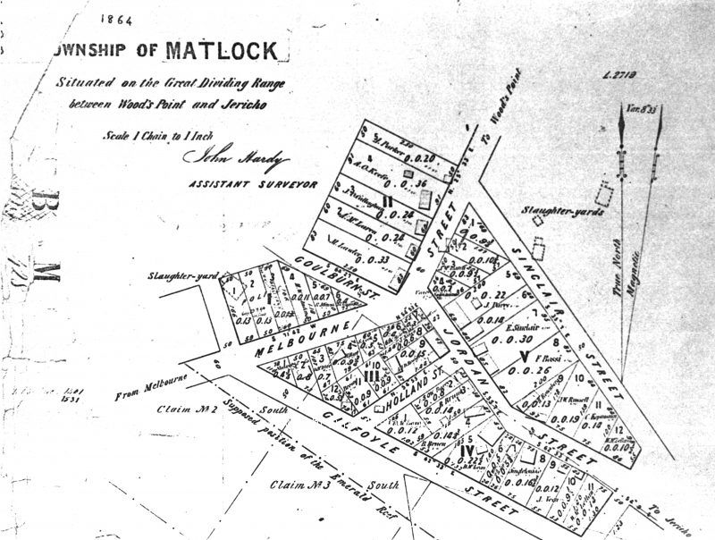
Map of the township of Matlock, situated on the Great Dividing Range between Woods Point and Jericho, 1864. John Hardy, Assistant Surveyor.

1864
4744w x 3580h

Legend

Item Date

Collection

Subject/s

Location

Copyright notes

Format

Donor

Publisher

Length of video

Dimensions (pixels)

Author/ Photographer

Condition of original