Skip to content
Menu
Home
About Us
About Us
News
Collections
Scope of Collection
Documents
Publications
Photographs
Audio-Visual
Exhibitions
Support Us
Search
Contact
0 items
BOSTOCK Roy
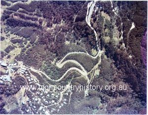
Aerial photograph taken in summer showing the hairpin bends leading up to Mt Buller
Image
MORE
Aerial photograph taken in summer showing the hairpin bends leading up to Mt Buller
Image
MORE
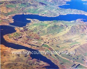
Aerial view of Bonnie Doon and rail and vehicle bridges
Image
MORE
Aerial view of Bonnie Doon and rail and vehicle bridges
Image
MORE
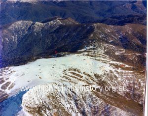
Aerial view of Mt Buller in the snow
Image
MORE
Aerial view of Mt Buller in the snow
Image
MORE
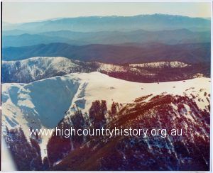
Aerial view of Mt Buller summit covered in snow
Image
MORE
Aerial view of Mt Buller summit covered in snow
Image
MORE
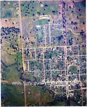
Aerial view of the south east part of Mansfield
Image
MORE
Aerial view of the south east part of Mansfield
Image
MORE
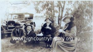
Afternoon tea with John Augustus Bostock
Image
MORE
Afternoon tea with John Augustus Bostock
Image
MORE
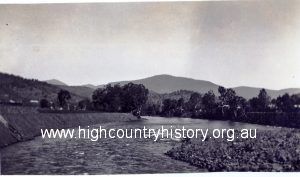
Artificial reservoir created by damming the Goulburn River at its confluence with the Delatite River.
Image
MORE
Artificial reservoir created by damming the Goulburn River at its confluence with the Delatite River.
Image
MORE
Backup flooding along the Delatite River.
Image
MORE
Backup flooding along the Delatite River.
Image
MORE
« Previous
1
2
3
4
…
17
Next »